


St. Vincent and the Grenadines: Volcano Treks and Diving Spots
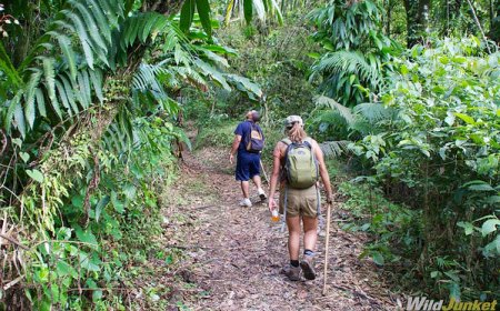
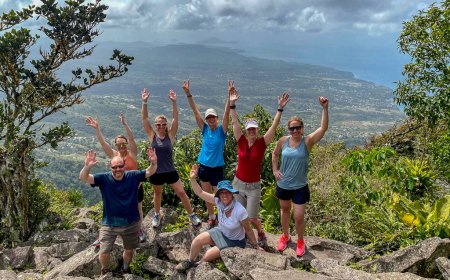
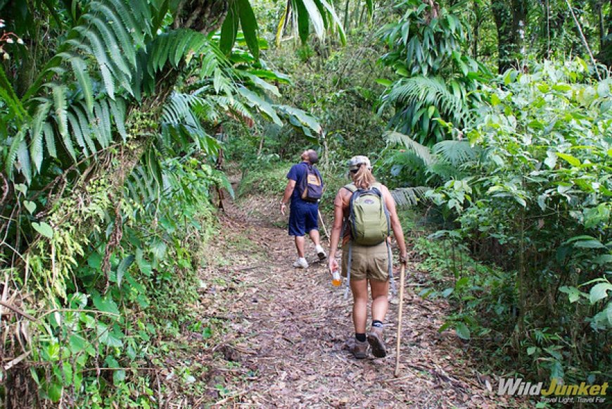
The main trekking route centres around La Soufriere Volcano, an active stratovolcano rising to about 1,200 meters. Hikers usually take the Windward Trail (2–3 hours each way) or the longer Leeward/Coast-to-Coast Trail. Terrain includes rainforest, volcanic rock, and cloud forest, requiring good fitness and a local guide. The National Parks Department advises checking the NEMO (National Emergency Management Organization) for safety updates, as the volcano remains active with occasional restrictions since its 2021 eruption.
1. Quick snapshot

La Soufrière is the island’s active volcano and highest point; it’s a major trek option on St. Vincent.
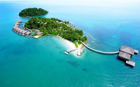
The Grenadines (Bequia, Mustique, Mayreau, Tobago Cays) plus sites off St. Vincent offers reefs, walls, wrecks and cave swims suitable for a wide range of diver skill levels.
2. La Soufrière volcano facts & trail information (land)
Height & type: La Soufrière rises to roughly 1,200–1,235 m (about 4,000 ft) and is an active stratovolcano.
Trail routes & times: The common windward approach is shorter (about 2–3 hours up from the car park on the Atlantic side); a coast-to-coast route and leeward approaches are longer (full routes up to ~6 hours or 9 miles depending on start). The National Parks authority lists a windward 4-mile return option and a coast-to-coast option.
Entrance/fees: La Soufrière National Park lists a facility fee for non-nationals (example listing: US$5). Check the park page for the current exact fee before you go.
3. La Soufrière current status & safety (latest official alerts)
Trail closure advisory: The National Emergency Management Organization (NEMO) issued an advisory in October 2024 after satellite/thermal data picked up elevated temperatures and stated that the La Soufrière trail should remain closed to unauthorized visits until further notice. Always verify current NEMO / National Parks updates before planning a trek.
Active volcano history: The volcano produced explosive eruptions in 2020–2021; seismic and fumarolic activity are monitored and conditions can change rapidly. Plan around official alerts and do not attempt unsanctioned summit access.
4. What to expect on the La Soufrière hike (terrain & experience)
Ecology & terrain: Trail passes through lowland rainforest, cloud forest, and volcanic rock near the summit; expect steep sections, loose volcanic gravel, and possibly fog/wind at elevation.
Visibility & weather: Summit visibility frequently changes (cloud/fog); afternoon storms are common in wet seasons that start early.
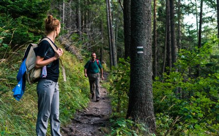
Guides & gear: Hire a local guide if you’re not experienced; bring sturdy boots, water, snacks, wind/rain layer and headlamp if you start very early.
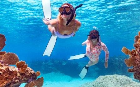
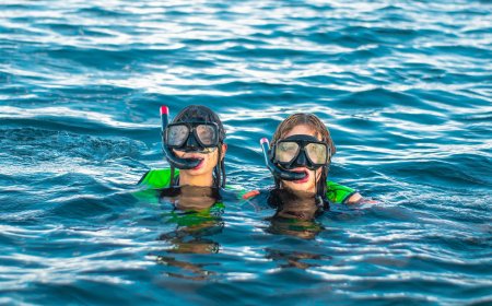
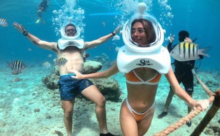
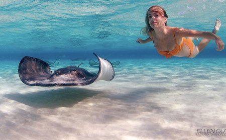
5. Key dive spots overview (sea)
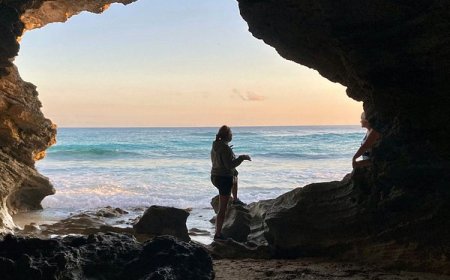
Bat Cave: A half-submerged cave/fissure dive with overhangs and dramatic topography; listed as a highlight for experienced divers seeking swim-throughs.
Anchor Reef: A wall dive with swim-throughs and coral gardens; Anchor Reef appears in “top dive site” listings for SVG and is suited to a range of certified divers.
Layou Wall / Rock Fort: Deep wall dives and drift opportunities; suitable for advanced open-water divers depending on depth/current.
Capital Wrecks: Several shipwrecks inside recreational depth range; attractive to wreck-experienced divers.
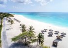
Grenadine sites (Bequia, Mayreau, Tobago Cays): Shallow reef gardens, turtles, macro life and drift dives good for both snorkellers and divers.
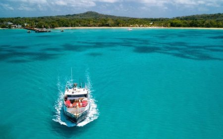
6. Diving practicalities & operator notes
Operator availability & certifications: Local dive shops run PADI/SSI courses and daily dives; book ahead in high season. Check operator reviews for boat safety and group size.
Currents & conditions: Some sites have strong currents or surge match site selection to your certification and fitness; always dive with a local guide if you’re unfamiliar.
Marine life & visibility: Expect reefs, macro critters (muck diving in places), turtles, rays and schooling fish; visibility varies by site and season.
7. Safety, conservation and seasonal notes (both land & sea)
Check official notices: Confirm La Soufrière/NEMO notices and dive-operator cancellation policies before travel. Volcano conditions and marine conditions can change quickly.
Respect closures & wildlife: Do not approach restricted volcano areas; follow dive guides’ instructions to avoid damaging coral or disturbing protected species.
Weather window: Best diving visibility and calmer seas are typically in the drier season (roughly December–May), but local variation occurs book flexibly. Hiking is best done early in the day to avoid afternoon showers.
8. Sample 3-day plan (realistic pacing)
Day 1: Arrival, check NEMO / National Parks status for La Soufrière, arrange a local guide or dive operator.
Day 2 (land option): If the volcano trail is open and safe, start pre-dawn for La Soufrière hike; return by early afternoon. If closed, consider local rainforest walks or coastal drives.
Day 3 (sea option): Book two dives from St. Vincent or a day trip to the Grenadines (Bequia/Mayreau/Tobago Cays) to cover Anchor Reef or Bat Cave. Confirm operator, safety briefing, and gear.
9. Final takeaways (planning checklist)
Check official volcano status (NEMO / National Parks) before booking a hike.
Book dive operators in advance and match sites to your certification.
Bring appropriate gear: hiking boots, water, rain layer for the volcano; dive certification card, logbook and surface-interval plan for diving.
Respect safety and conservation rules closures, lahar risks after heavy rain on volcano slopes, and reef protection rules underwater.
What's Your Reaction?
 Like
0
Like
0
 Dislike
0
Dislike
0
 Love
0
Love
0
 Funny
0
Funny
0
 Angry
0
Angry
0
 Sad
0
Sad
0
 Wow
0
Wow
0